 SSField
Sats
14
SSField turns an Android phone into a professional GNSS field mapper — RTK-ready positioning, custom coordinate systems, and reports you can hand to a client, not just a screenshot.
Not a consumer map app with a measuring tool bolted on — SSField's core is accuracy-gated point capture, real projected-CRS math, and reports built for a client meeting.
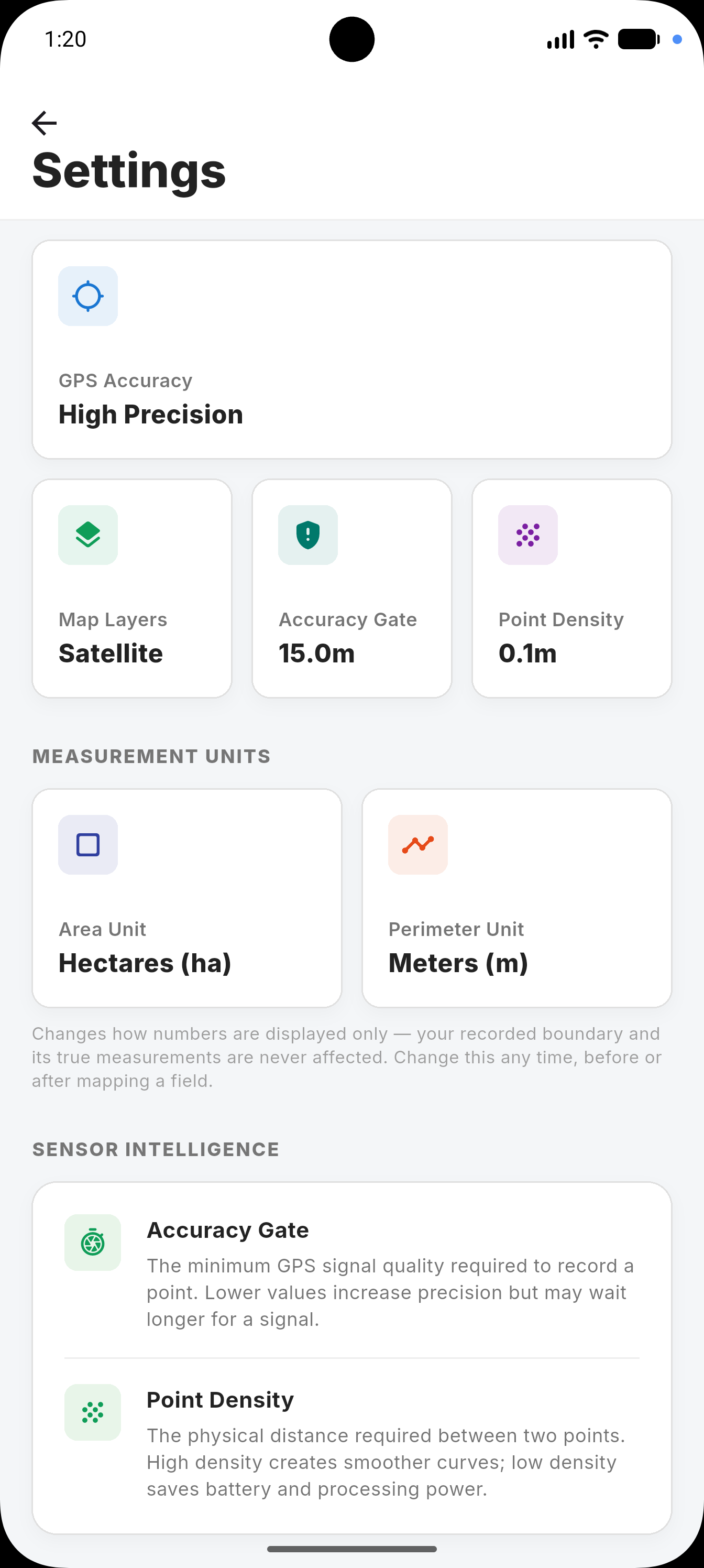
Points only get recorded once your live horizontal error drops below the threshold you set, with an averaging pass that tightens each fix further.
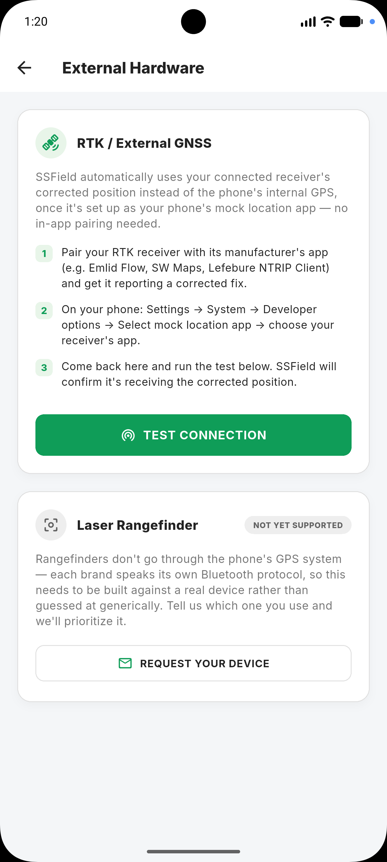
Bring an external RTK/DGPS receiver for centimeter-level boundaries, or run on phone GPS alone when that's all the job needs.
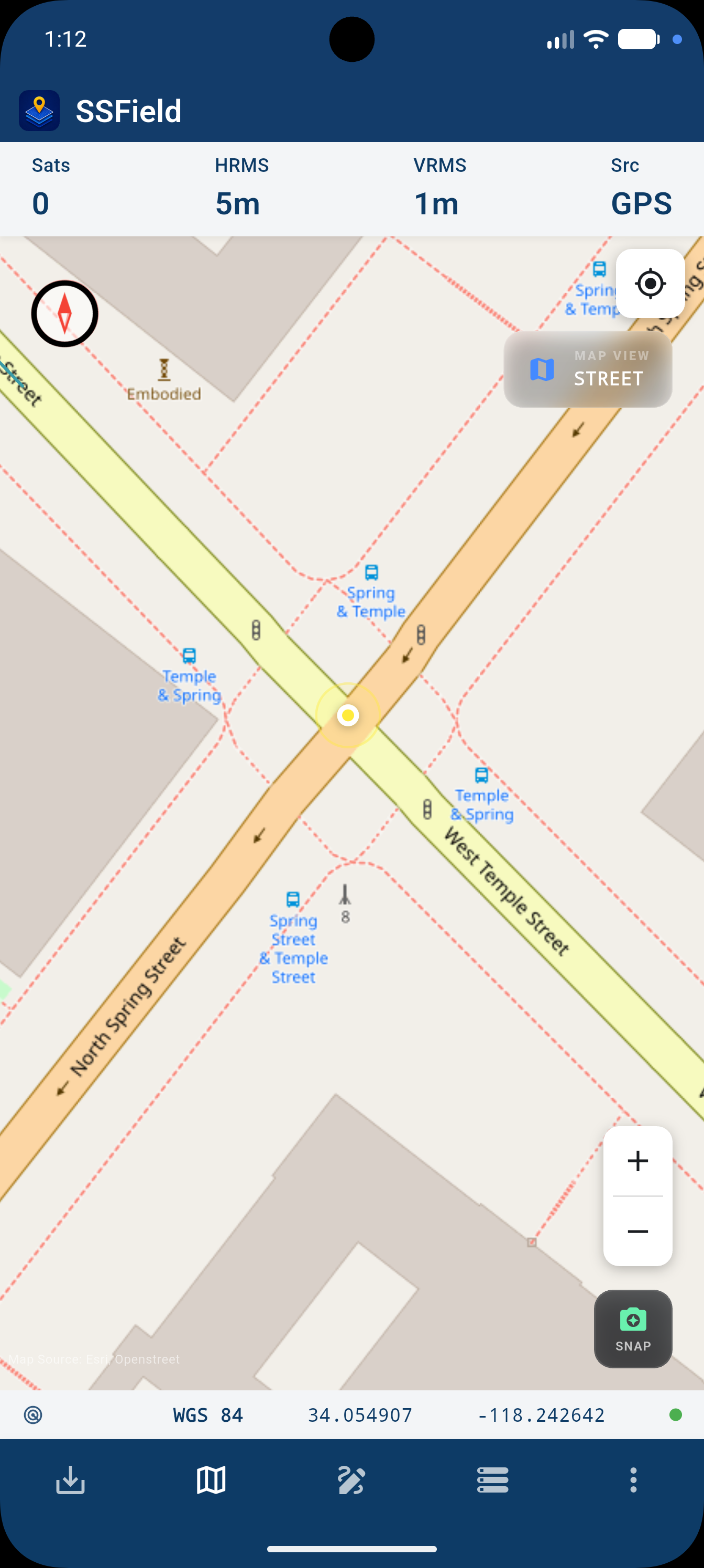
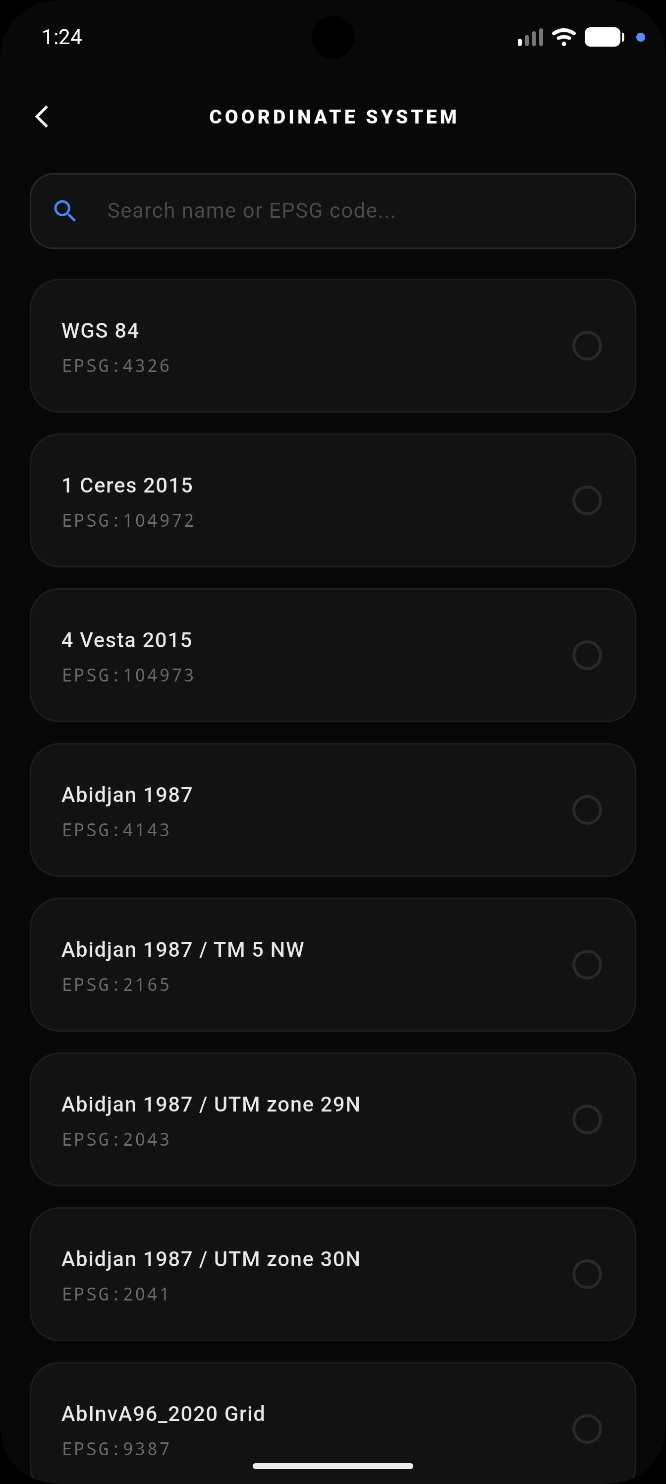
NEWWGS84 out of the box, or bring your own local projected system. Area and perimeter run through real projected meters, not a spherical guess.
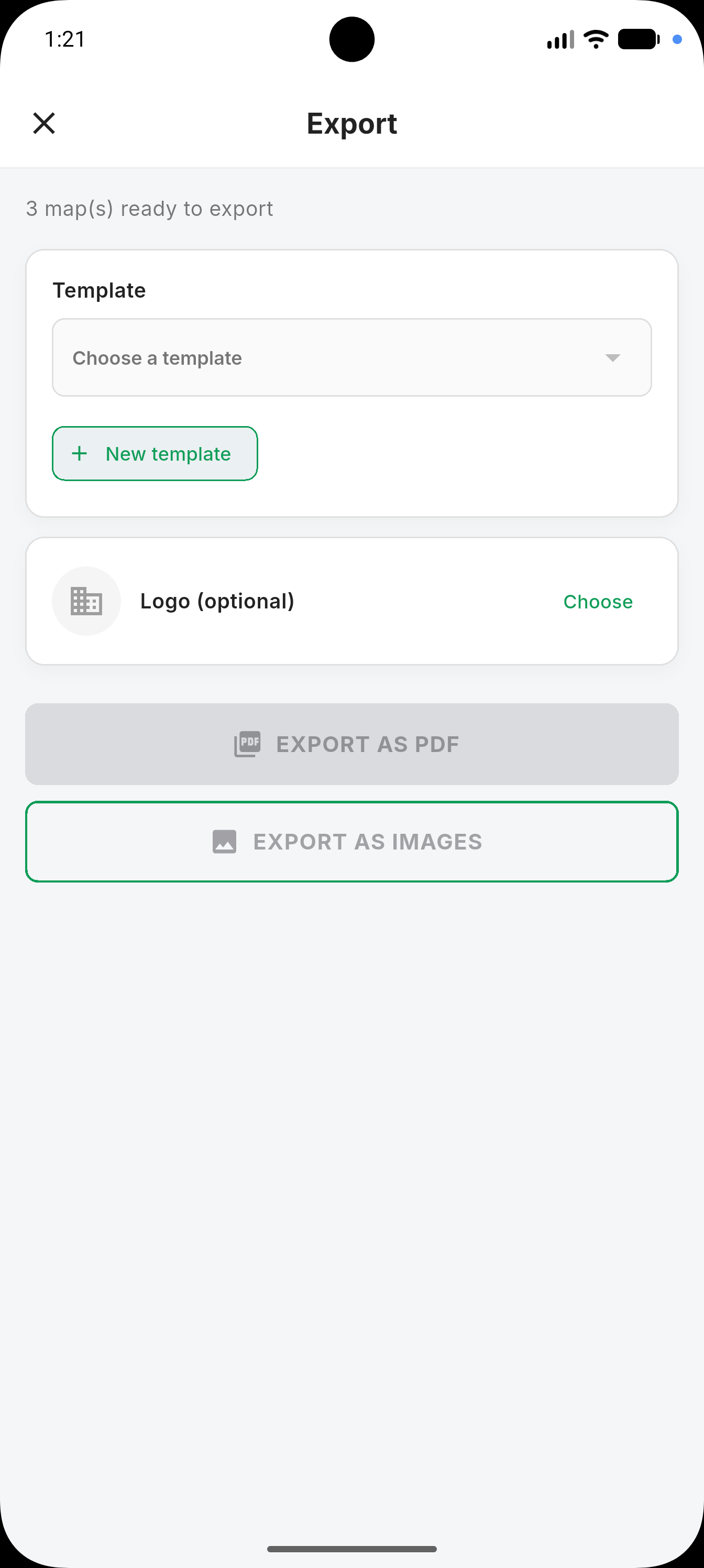
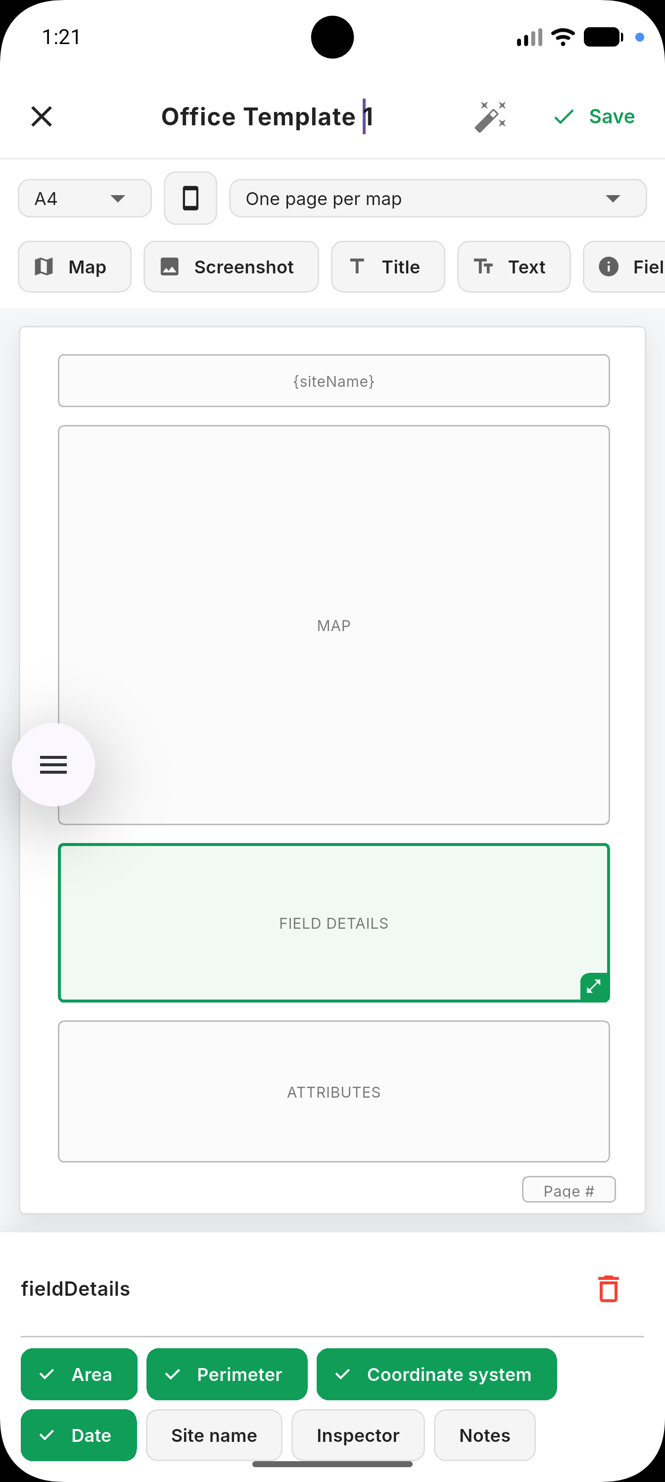
Build your own export template — map plot, field details, attribute table, logo — then reuse it for every site, one page per boundary or combined.
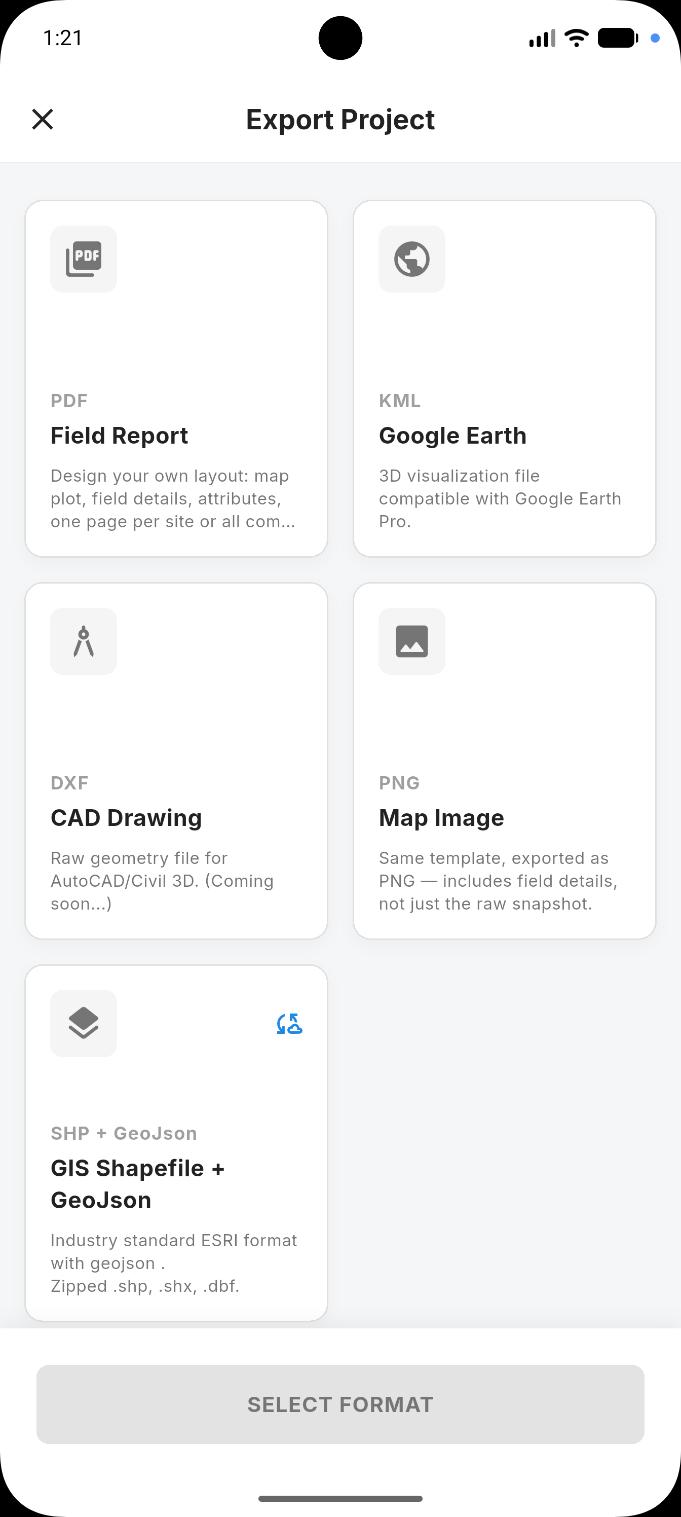
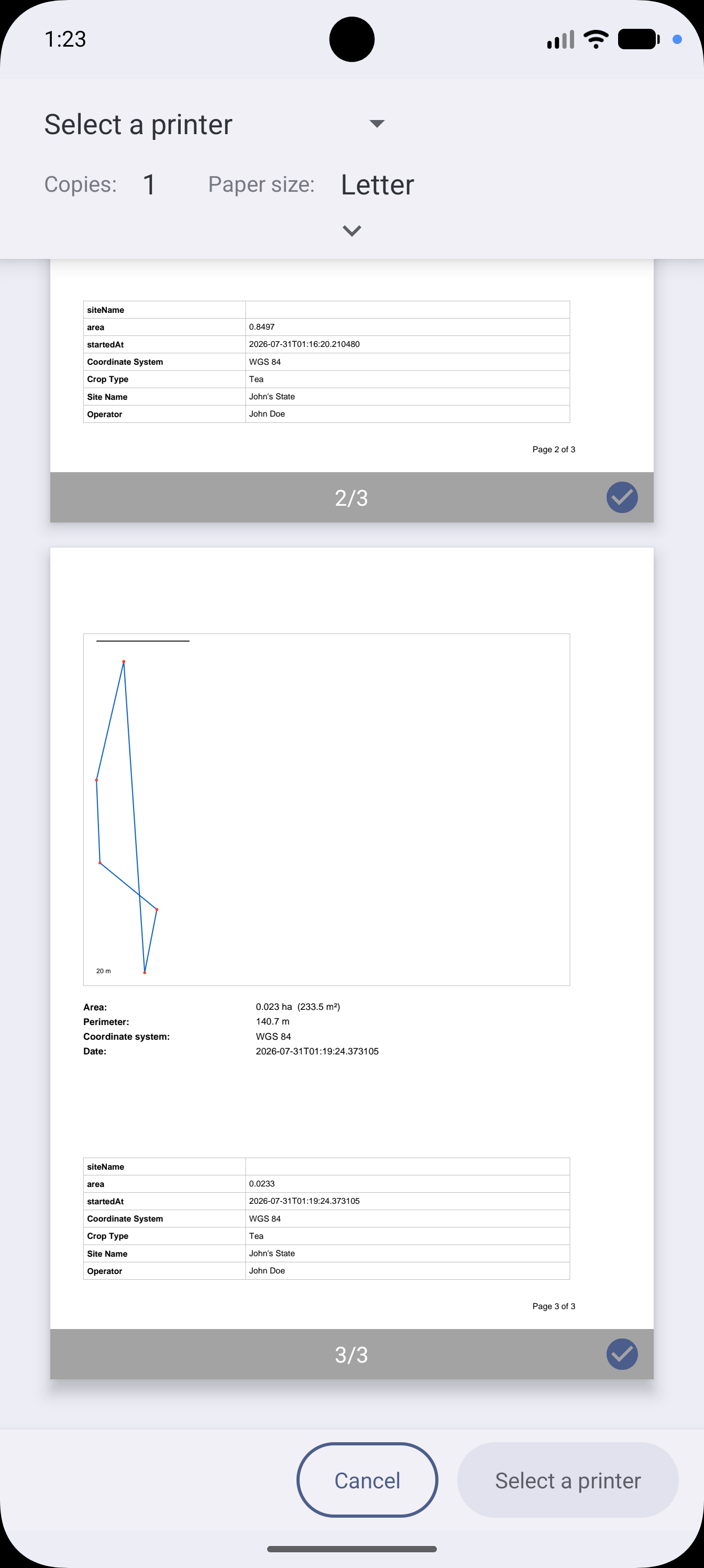
KML for Google Earth, DXF for CAD, GeoJSON and Shapefile for GIS software, PDF or images for the client meeting.
Satellite count, horizontal error, altitude, and a plain-language fix-quality read — visible the whole time you're working, not buried in a menu.
Clean, professional tools designed specifically to perform and be readable in harsh outdoor environments.
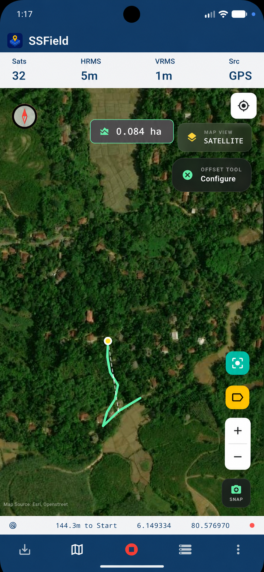
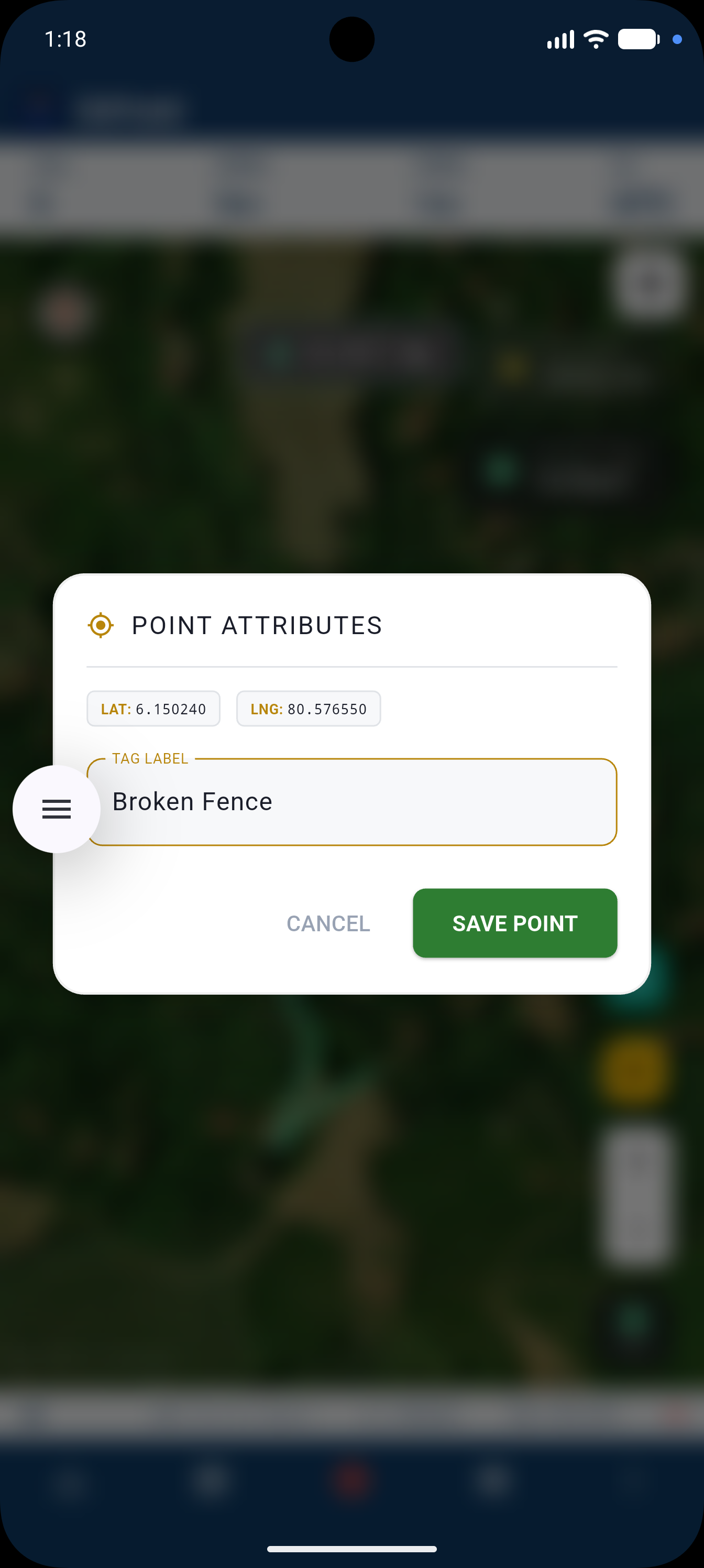
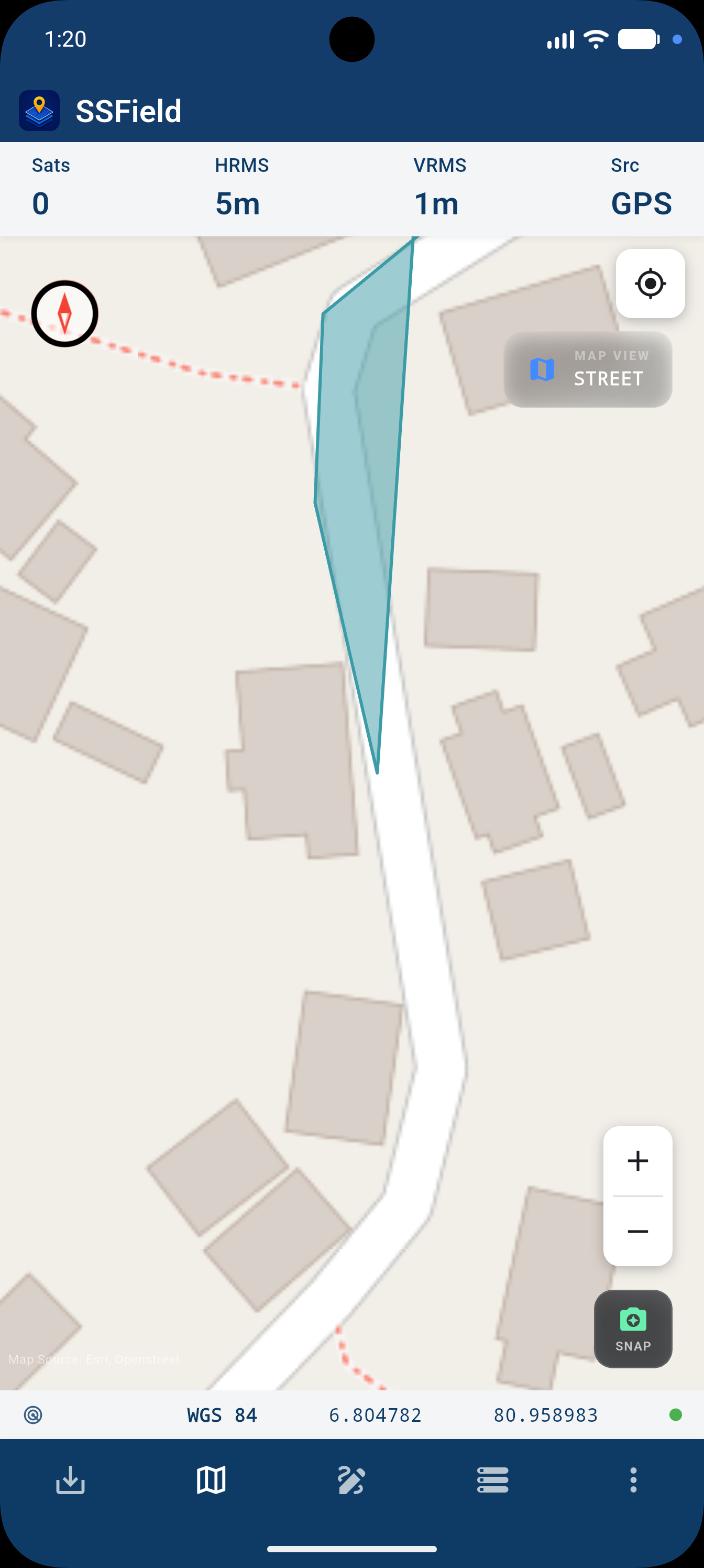
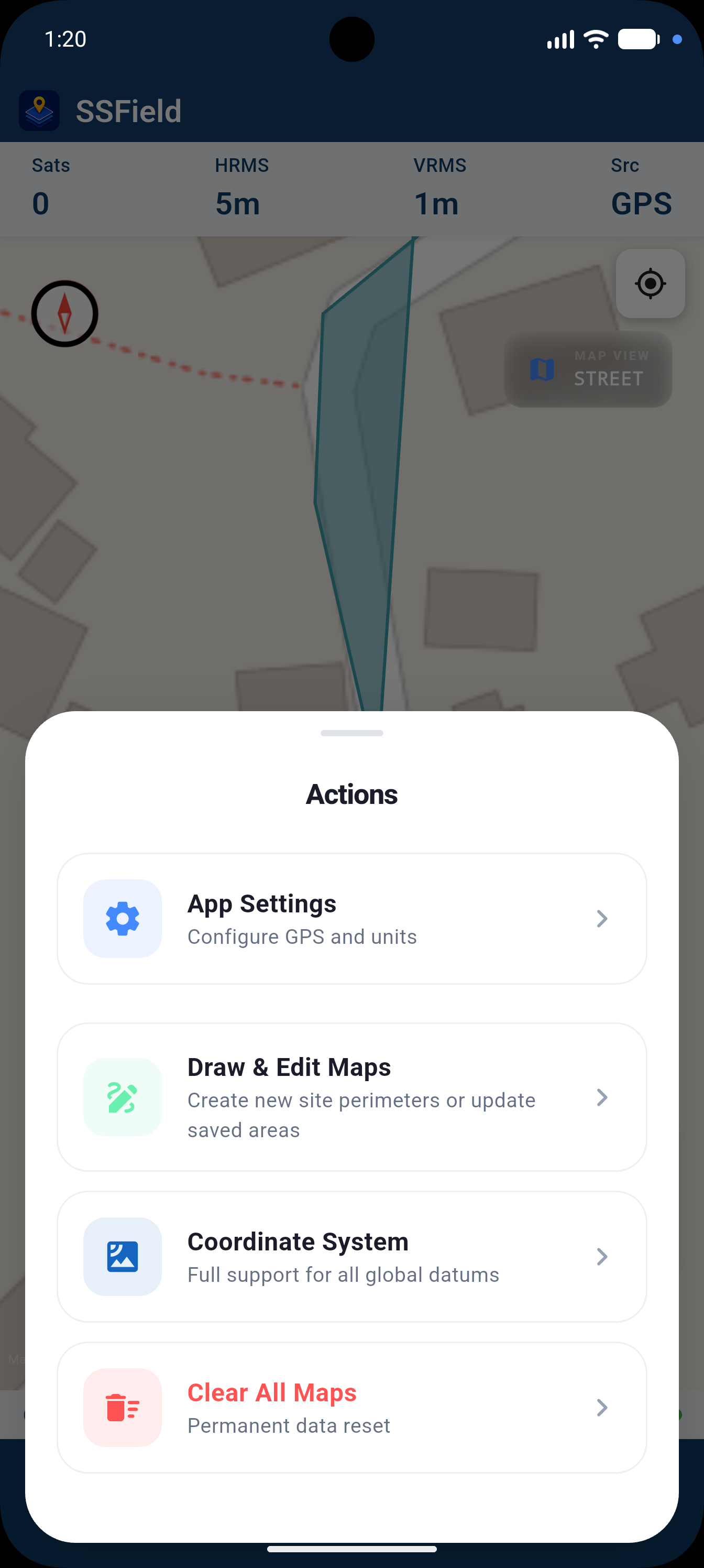
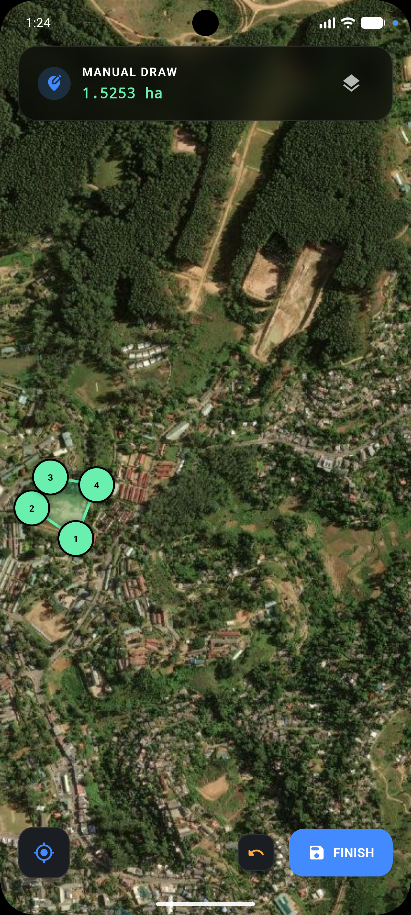
Start a site and walk the perimeter. SSField only logs a point once your GPS signal is good enough to trust — no manual filtering after the fact.
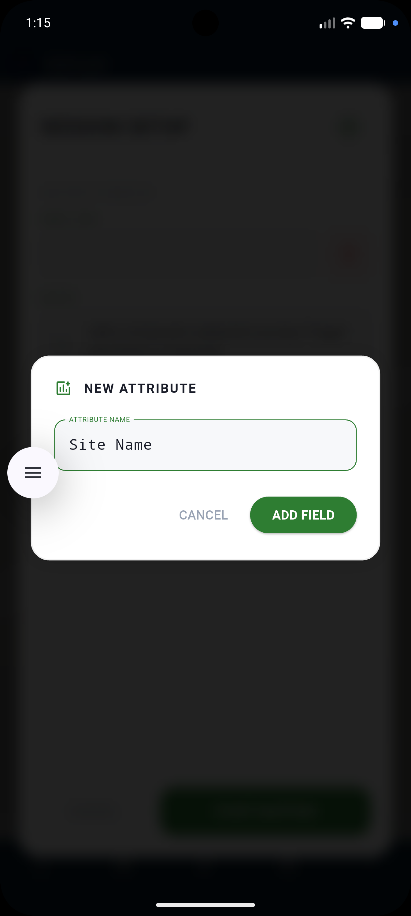
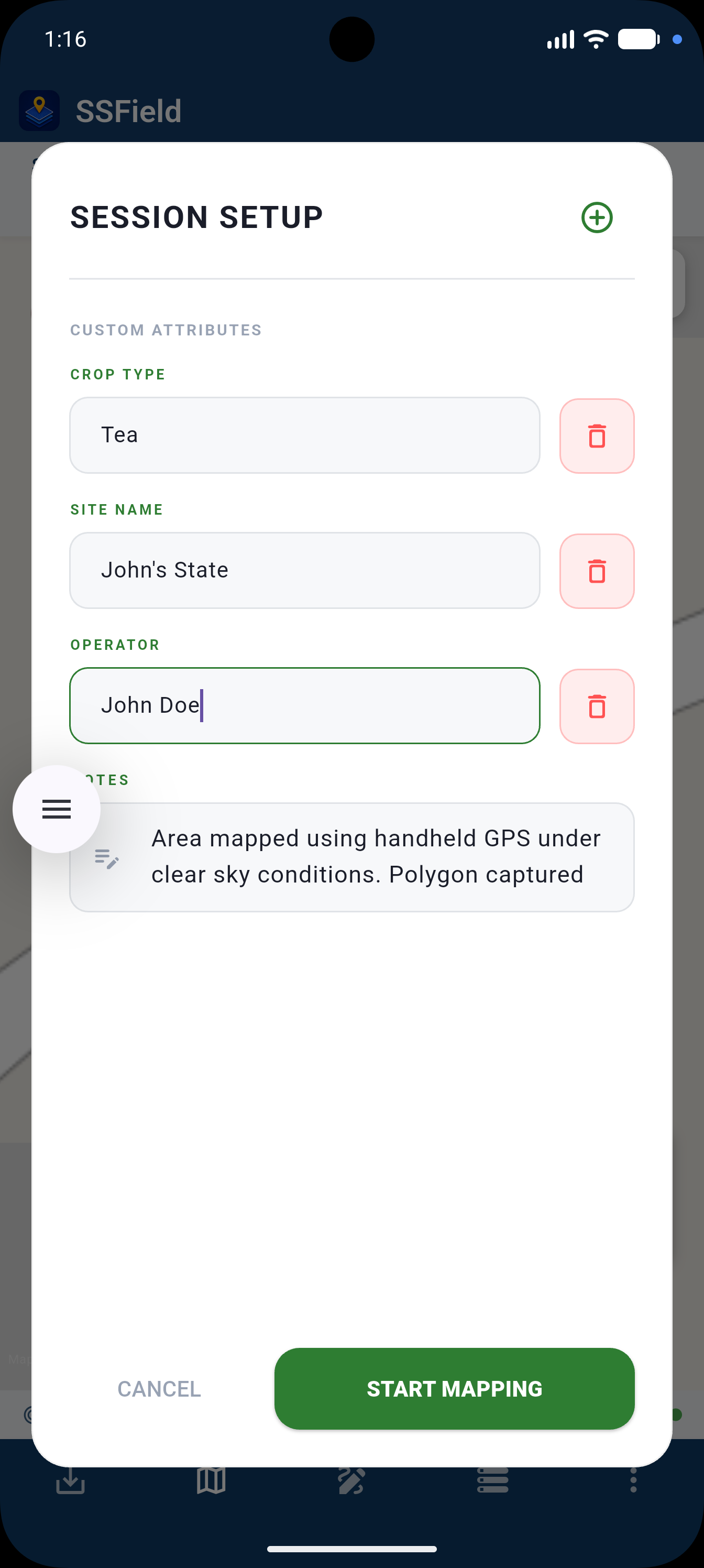
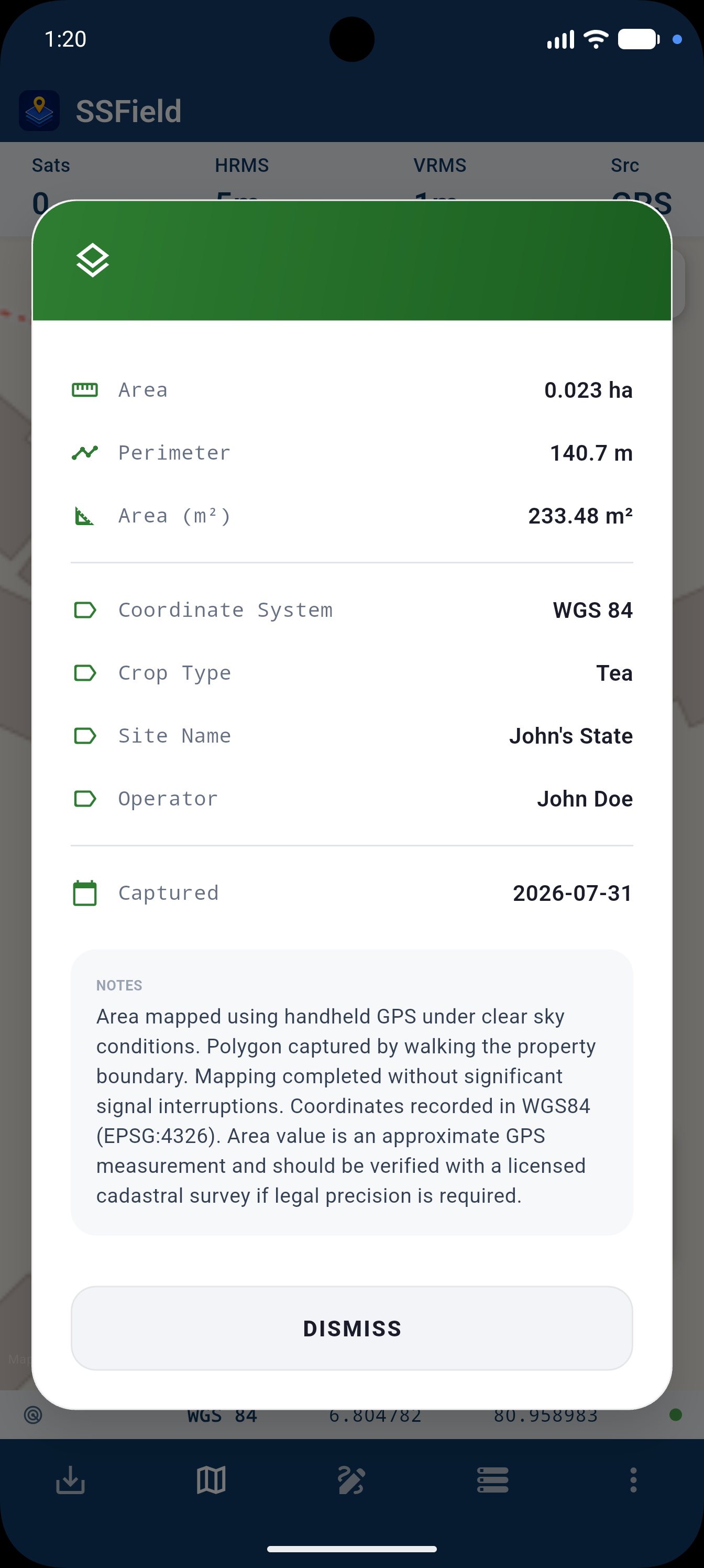
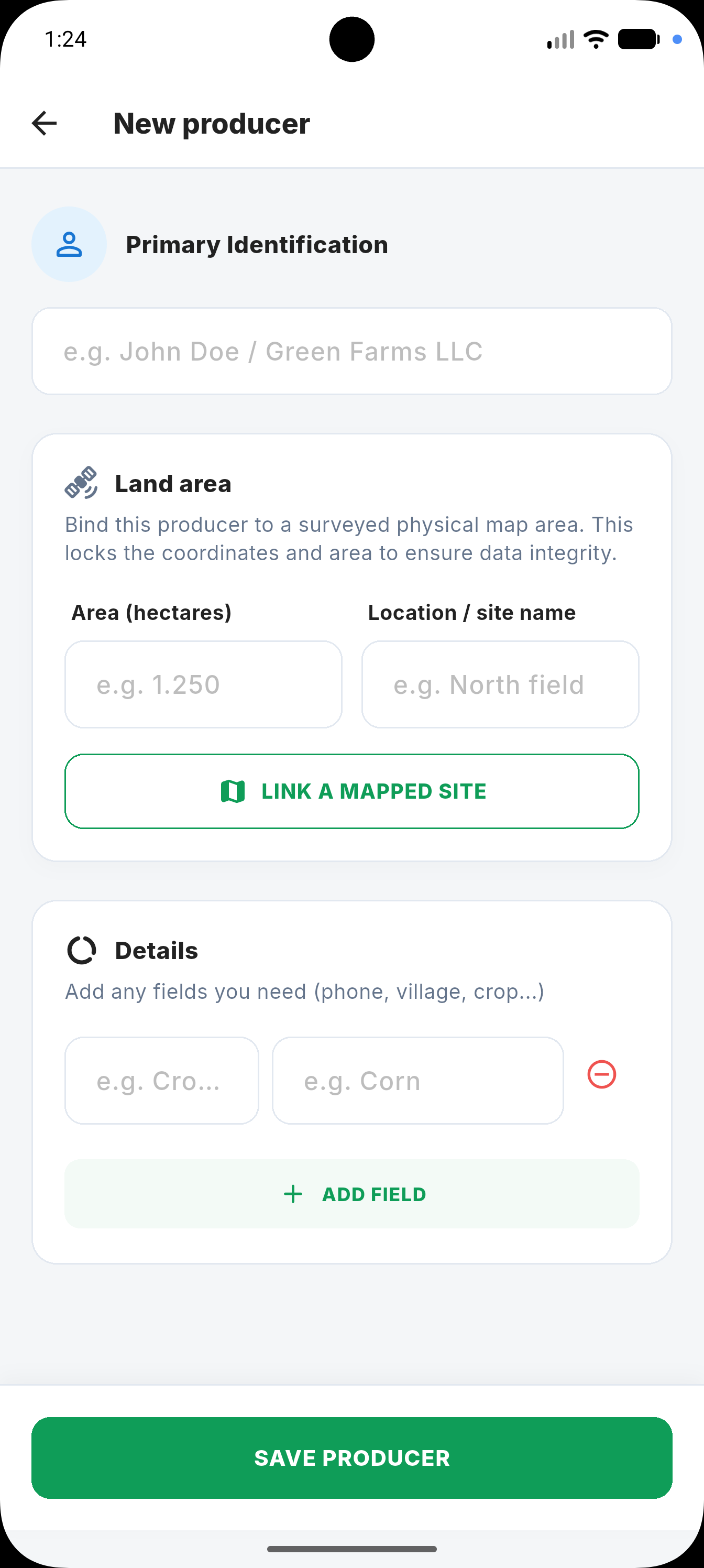
Name the site, note the inspector, attach whatever custom attributes your workflow needs — crop type, soil class, or anything else.
Pick a template, choose one page per site or a combined overview, and hand over a PDF or image set that looks like it came from a survey firm.

SSField is built and maintained by CODEGENLK, an engineering team focused on field-data tools for land professionals. Questions, bug reports, feature requests — we read every email.
Install directly from CODEGENLK, or get automatic updates through Google Play.